phpMyVisites | Open source web analytics
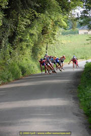
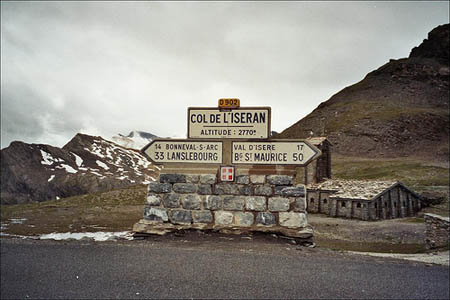
Etape du 18 août
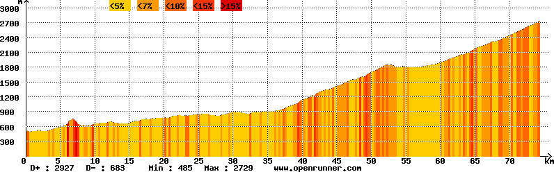
Distance : 61 km
Dénivelé montant : 2927 m
Dénivelé descendant : 683 m
Parcours : Fichier GPS
<br />Sorry. If you’re seeing this, your browser doesn’t support IFRAMEs.<br />You should upgrade to a more current browser.<br />Try clicking on this line instead <a href="donnees/googlemap/etape9.html">http://tourdefranceroller.free.fr/donnees/googlemap/etape9.html</a><br />


")
")
")